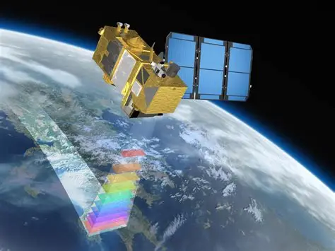
GIS is a technology that is used to create, manage, analyze, and map all types of data. GIS connects data to a map, integrating location data (where things are) with all types of descriptive information (what things are like there).
Explore key data points revealing performance trends, technological impact, and project milestones that demonstrate our expertise and continuous growth.

Mostaqbal Systems is dedicated to delivering innovative IT and GIS solutions that empower clients across government, energy, and environmental sectors.